
San Ramon Street Directory: Start With APN
A street-by-street search should begin by normalizing the current USPS situs address. Record the house number, street spelling, suffix, city label, and ZIP, then test the same location in the county property tools. ParcelQuest Lite can return the APN and basic parcel facts. CCMAP can show the parcel, adjoining lots, aerial setting, contours, and radius context. Neither map is an occupant roll, and the assessor web view does not publish owner names.
The next link is the lawful ownership layer. Use the public assessment roll or a permitted county channel for the titleholder lead, then open the vesting deed and read the legal description. A deed chain can establish title events, while permits can establish work and named project parties. A voter record cannot be used for casual street browsing. Older household clues come from reverse directories, census material, newspapers, and library collections, where an entry must be read as a historical clue rather than current proof.
- Normalize the street address and use ParcelQuest Lite or CCMAP to capture the APN, situs, map context, lot details, and subdivision reference.
- Use the lawful assessment-roll or counter route for an owner lead, keeping the parcel’s mailing address separate from its physical situs.
- Search the recorder by party, document, date, APN, book and page, or legal description, then compare the deed’s legal description with the parcel.
- Check the voter channel only where the statutory purpose allows; My Voter Status is an authenticated self-lookup, not a public street list.
- Use reverse or criss-cross directories for historical occupants and subscribers, then pair an entry with its edition date and address.
San Ramon ParcelQuest Search Fields
The Contra Costa Assessor property-information page is the primary online entry for ParcelQuest Lite. It documents two search keys: an Assessor’s Parcel Number and a street address. The address is a situs, meaning the physical location of the parcel. The APN is often the better key for vacant land, a new subdivision, or a place where the postal label changed.
| Portal | Field | Type | Required | Use or Format |
|---|---|---|---|---|
| ParcelQuest Lite | Assessor’s Parcel Number | Text | One search key | Use the county APN; it can identify land without a street address. |
| ParcelQuest Lite | Street Address | Text | One search key | Enter the physical situs, not an owner’s mailing address. |
| ParcelQuest Lite | Search | Button | None | Runs the chosen address or APN lookup. |
| Recorder | Party / Name | Text | Name mode | LAST Name FIRST Name; role options are All, Grantor, and Grantee, with partial match. |
| Recorder | Document Number and Type | Text and selector | Optional | Use an exact number or narrow deeds, liens, releases, maps, and related instruments. |
| Recorder | Recording Date / Date Range | Date pair | Mode-dependent | MM/DD/YYYY; recording date is different from execution date. |
| Recorder | Book and Page | Text pair | Both in mode | Dedicated mode is labeled 1986-1993; Old Book is separate. |
| Recorder | APN | Text | APN mode | Deeds only, recorded 3/3/1997-present, and may take up to one minute. |
| Recorder | Legal Description | Dedicated mode | Mode-dependent | Use it to preserve parcel continuity when a street label does not match an older deed. |
The captured assessor page explains the key privacy distinction: ParcelQuest Lite and the county map tools can locate a parcel, show characteristics, and support map research, but all owner names are suppressed from the online assessor presentation. The public assessment roll remains available through lawful offline channels.
The assessor page captured for this San Ramon street directory shows the county’s address and APN entry point.
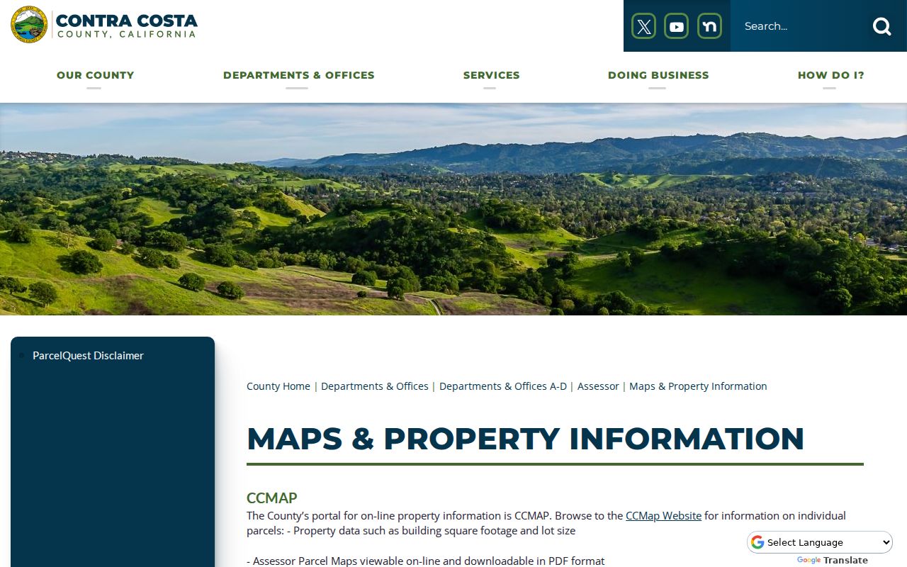
The image belongs with the first address step because it shows how a situs becomes a parcel lead, not because it supplies a public owner list.
San Ramon CCMAP Parcel Neighbors
CCMAP is the county’s free online parcel-information map. Search an address or APN, zoom to the parcel, select it, and inspect the surrounding map. The documented layers include parcel boundaries, building and lot details, assessor-map links, aerial images, contours, and radius selection. The current ArcGIS experience is also identified by the county research record. Parcel and GIS data are updated monthly.
For address research, the map is most valuable as a geometry check. Browse both sides of the street and include rear-adjoining lots when a parcel boundary is not obvious. Keep the APNs for each selected parcel. Then use the assessment-roll counter or deed index for ownership, rather than treating the map’s color, label, or proximity as proof that a person lives nearby.
CCMAP’s radius tool can define a group of adjacent parcels, but no official source verified a bulk whole-street export of residents. A radius result is a parcel set. It becomes a resident clue only after the separate title, permit, historical, or consent-based source is checked.
The parcel viewer captured for this San Ramon street directory makes the map-to-neighbor step visible.
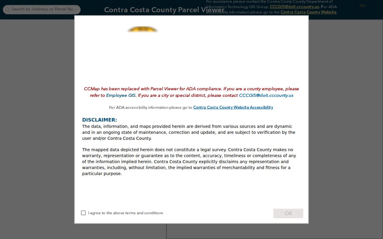
The map can reveal an easement, rear parcel, or boundary that a simple street search misses. It still does not name every person at the address.
San Ramon Records Along a Street
Address-keyed records answer different parts of a street question. ParcelQuest and CCMAP locate land. The recorder connects parties to recorded instruments. City Building and Safety connects an address to permits and project participants. Historical reverse directories can connect a house number to a past subscriber. California voter data is not a personal street list, even though approved voter-file products can contain registration geography for an allowed purpose.
| Record Set | Keeper | What It Shows | Access |
|---|---|---|---|
| Assessment / parcel card | Contra Costa Assessor | APN, situs, value, characteristics, map; offline roll may include owner and mailing address | Free web details; owner lead through lawful counter or request. |
| GIS parcel map | County GIS and Assessor | Boundaries, nearby lots, aerials, contours, size, radius set | Free CCMAP viewer. |
| Deed index and image | Clerk-Recorder | Grantor, grantee, document type and number, recording date, legal description | Online service, counter, or order; use APN and legal description. |
| City permits | San Ramon Building and Safety | Address, project, contractor or applicant, issuance, inspection, and status | City service or defined request; archive range is not published. |
| Voter data | California Elections administration | Registration geography only under permitted statutory use | Not available for personal street browsing. |
| Reverse directories | Libraries and historical collections | Historical subscriber or occupant by street and house number | Exact San Ramon runs are unverified; ask the reference desk. |
The parcel number is the bridge between the first three rows. The street name is a useful starting label, but the legal description is more durable when a tract, annexation, or postal label changes. A complete street directory trail therefore moves from address to APN, from APN to legal description, and from title records to the separate evidence of occupancy.
San Ramon Recorder Deed Chain
The exact Contra Costa recorded-document search is party and document based. Its modes include Party or Name, document number and type, recording date, Book and Page, Old Book, APN, and legal description. Name mode accepts a role of All, Grantor, or Grantee, and a partial-match option. Use a recorder search after the parcel and current deed reference are known, because a historic street address is not a dependable index key.
Person-linked results cover 1986-present. APN deed searching reaches 3/3/1997-present. Book and Page is labeled 1986-1993, and older modes vary. The county says some property records reach the 1800s. That mix means a gap in the online view is not proof that no deed exists. Try Old Book, legal description, a prior party name, the counter index, or a copy order when the current mode stops.
Read every result for the party role, instrument type, recording date, document number, legal description, and APN or map reference. Deeds, reconveyances, liens, easements, and releases can all place a name in a parcel trail for different reasons. Compare the same legal description across successive instruments. A shared name without a matching land description is not a chain of title.
The recorder capture used for this San Ramon street directory shows the index route that turns an APN or party name into a deed lead.
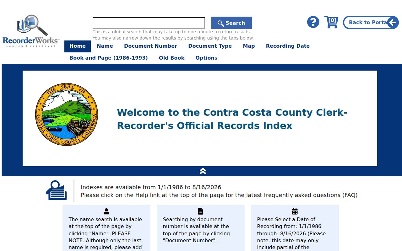
The image supports the field-by-field method. The underlying deed or certified copy remains the decisive source for a title event.
Note: A deed chain identifies titleholders and recorded parties; it does not identify every earlier occupant of the street.
San Ramon Permit and Tax Clues
Building records add an event layer to the parcel trail. San Ramon Building and Safety can connect an address or permit number to a project, contractor, applicant, issuance date, inspection, or status. Planning files can add project applicants, owner representatives, parcel references, environmental material, and hearing packets. Code Enforcement can hold a closed case tied to an address, while active matters may be restricted. Police Records has its own disclosure and redaction rules.
The city’s Building and Safety services source was captured for the San Ramon street directory.

A permit can date work and name a project participant. It does not prove that the named applicant lived at the property.
Tax information is a different record layer. The Contra Costa Treasurer and Tax Collector handles secured property-tax bills, payment status, and tax-default information keyed to the APN. A tax bill can help confirm parcel identity and a time frame, but it does not replace the deed or establish the people in a household.
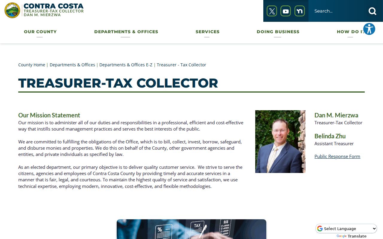
The tax image belongs after the permit image because both support parcel chronology while proving different facts. Keep the APN constant as the records are compared.
Pre-1983 plans often remain with the county because San Ramon incorporated in 1983. County Building is listed at 925-655-2700. City plan viewing can be arranged through the Permit Center at 925-973-2580, option 2. Professionally stamped plan copies require written permission from every architect or engineer, an $84 affidavit per licensed professional, and printing.
San Ramon Situs and Mailing Terms
Address language creates many false matches. A situs is the physical parcel location. A mailing address is where assessment correspondence goes and may point to another place. An APN is the county parcel identifier. A legal description can preserve the land identity when a street number, postal city, subdivision label, or map reference shifts. A plat is a recorded map that lays out lots, blocks, roads, easements, and other parcel relationships.
The Contra Costa Assessor office is the official starting point for the property-record context captured for this San Ramon street directory.
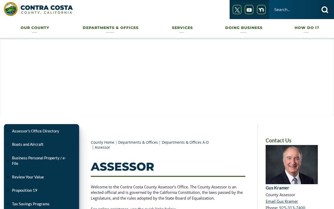
The office link is useful when the free web map is not enough and a lawful public-roll or records request is needed.
- Parcel
- A mapped unit of land tracked by an APN, with boundaries and characteristics that may outlast a postal label.
- Situs address
- The physical address assigned to the parcel for location and service purposes.
- Plat
- A recorded map showing lots, blocks, roads, easements, and the relationship among parcels.
- Criss-cross directory
- An address-ordered reference, usually arranged by street and house number, that may show a historical occupant or telephone subscriber.
These terms keep an address search anchored to land first. A matching situs and mailing address can be useful, but neither proves that every named person occupied the parcel.
San Ramon ZIPs and Street Eras
ZIP codes help sort a large street search, but they do not certify city limits. USPS provides the delivery geography, while incorporation and annexation determine municipal authority. The APN and legal description control the parcel record. Verify an address in the USPS ZIP Code Lookup and then compare it with CCMAP and the city or county jurisdiction layers.
| ZIP | San Ramon Area | Postal Relationship | Record Note |
|---|---|---|---|
| 94582 | Much of eastern San Ramon, especially Dougherty Valley, Gale Ranch, and Windemere | San Ramon postal service area | Large planned-growth area; ZIP boundary is not a city-limit certificate. |
| 94583 | Much of central and western San Ramon, including older subdivisions and I-680 corridor areas | San Ramon main postal service area | Confirm service and municipal geography parcel by parcel. |
94582’s eastern master-planned streets are often newer than the local directory and census trail. 94583’s older central and western areas can carry earlier county or valley references, but no citywide street-renumbering year was verified. Use tract maps, annexation records, deeds, permits, and contemporaneous newspapers before assuming two address labels describe the same place.
Historical San Ramon Street Directories
A reverse or criss-cross directory is the historical tool that most closely resembles a street directory. It is ordered by street and house number, and may list an occupant, subscriber, telephone number, or cross-reference. It does not necessarily list a full household. An ordinary telephone directory is often name-ordered, while the reverse section turns an old address into a possible name. Read the volume’s abbreviation key before interpreting an entry.
Local research is distributed across San Ramon Library, Danville Library, the Contra Costa County Library system, the Contra Costa County Historical Society History Center in Martinez, the California State Library, and the Museum of the San Ramon Valley. Search terms should include San Ramon Valley, Danville, Dougherty, Tassajara, Contra Costa, and older ranch or post-office names. A search limited to “City of San Ramon” misses records created before incorporation.
No official exhaustive list of San Ramon criss-cross years, first and last local directory volumes, or a verified sample entry was located. Directory absence is therefore not proof that an address had no occupants. The historical shelf and its source gaps are handled in the San Ramon city directory collections discussion, while the street directory remains focused on the address chain.
San Ramon Owners and Occupants
Ownership is a title relationship. Occupancy is a use or presence relationship. A titleholder may receive tax mail at a different address, and an owner’s mailing address may be a business, agent, family, or service contact. A matching mailing and situs address still does not prove that every household member is present. Reverse directories, census records, newspapers, school material, and consent-based community contacts can add historical or personal context, but each source has its own date and coverage.
California’s voter system is not a shortcut. My Voter Status asks for first name, last name, date of birth, and, where requested, a California driver license or identification number or last four digits of a Social Security number. It returns a matched voter’s status context. Elections Code section 2194 permits voter-file uses for election, scholarly, journalistic, political, or governmental purposes under law, not casual personal street browsing. Government Code section 7924.000 protects specified registration addresses, contacts, identifiers, and signatures.
A street directory should therefore describe a supported connection, such as “recorded grantee on a deed” or “historical subscriber in a reverse directory,” rather than turn a parcel map into a list of current households.
San Ramon Street Directory Limits
No public source supplies every person connected with a San Ramon address. Household members who are not parties to a record may never appear in a deed or assessment roll. Utility customer data is not an open address directory. DMV address information is restricted by the federal Driver’s Privacy Protection Act. Confidential voters, sealed or juvenile court material, protected participants, and redacted city or police records create further gaps.
Safe at Home can protect eligible participants with a substitute mailing address and confidential voter registration. The program does not automatically remove a public deed, and a property legal description can still reveal a location unless a specific protection applies. Ask the custodian about statutory suppression or correction instead of asking an unrelated source to rewrite an official record.
The street directory method is strongest when it states what the source proves, preserves the source date, and stops when the next fact is not public or not lawfully available.
San Ramon Street Research Gaps
Several gaps are material, not invitations to guess. The research did not verify a citywide street-renumbering year, a complete local criss-cross run, a first or last San Ramon printed directory, a precise permit-archive start, or a standalone San Ramon Sanborn sheet run. Parcel history can still be pursued through APNs, parent tracts, plats, legal descriptions, deeds, annexation layers, and dated permits.
San Ramon’s incorporation in 1983 and later annexations split record custody across time. The annexation legend lists Canyon Lakes phases from 1986 through 1994, Central San Ramon in 1987, Thomas Ranch in 1998, Dougherty Valley annexations 1 through 18 from 1998 through 2020, Henry Ranch in 1999, and Faria Preserve in 2008. A 1970s address question may belong with county planning, assessor, or fire-district sources, while a later city project may appear in San Ramon records.
When the online trail stops, use the assessor or recorder counter, a narrow city CPRA request, the library catalog and reference desk, the History Center, or an appointment-based museum collection. Record the exact address, APN, date, record type, and custodian sought. That fallback preserves the difference between a missing online hit and a missing historical fact.
Note: Exact fees, hours, portal controls, and access rules can change, so confirm current terms with the named custodian before ordering copies.