
San Ramon Neighbors: Block Sources
A San Ramon block is represented across several record layers. The first layer is geographic, showing which parcels touch or sit near the target. The next layers describe title, permits, registration rules, association boundaries, and past households. None is a complete list of everyone who lives nearby.
| Source | What It Shows About a Block | Access |
|---|---|---|
| CCMAP parcel viewer | Adjacent lots, APNs, lot and building details, aerials, contours, and radius context | Free online map |
| Assessor public roll | Ownership and mailing fields for each parcel, subject to suppression rules | Public counter or permitted request; owner names omitted online |
| Recorder index and copies | Grantor, grantee, title changes, liens, recording dates, and legal descriptions | Online index, counter, or order path |
| City permit records | Address, project, applicant or contractor, work, issuance, and inspection details | City service or defined records request |
| California voter records | Registration geography only through approved statutory access | Self-lookup or restricted file request |
| HOA and neighborhood layers | Named associations, polygon boundaries, and public board or management contacts | Public pages; member rosters are private |
| Directories and local history | Past subscribers, occupants, community events, photographs, and family context | Library, History Center, museum, or appointment |
Owners are not the same as occupants. Mailing addresses can point elsewhere. A permit applicant can be a contractor or representative. A public association contact can answer an outreach question without naming members. The strongest block lookup states the field, date, and source for every conclusion.
Note: A block source is useful only when its date, field definition, and access limits remain attached to the result.
Map San Ramon Neighbors by Parcel
The adjacent-parcel method begins with one known address and expands only as far as the question requires. CCMAP supports address or APN lookup, map click, parcel selection, aerial and contour context, and radius searching. Keep the APN for each lot. It is a durable key for later assessor, recorder, permit, and map work.
- Search the address or APN in CCMAP, zoom to the target parcel, and click the lot so the situs, APN, and map context are recorded.
- Zoom out far enough to include both sides of the street and rear-adjoining parcels. Select each neighboring lot or use the radius function. Do not infer a household name from the map alone.
- For an ownership question, take each APN to the lawful assessment-roll counter or request route. The county web presentation suppresses owner names, so the online parcel card is not the ownership layer.
- Compare situs address, owner mailing address, business or agent address, and any available legal description. These fields describe different relationships to the land.
- For a whole named street, move to the San Ramon street directory workflow. The block method is for the immediate radius, not a bulk street export.
The result is a parcel map with source-backed leads. It is not a public roster of every person near the address. Record the date of the map view because parcel and address layers are updated over time.
San Ramon Neighbors: Owner or Occupant?
Three address relationships are easy to blur. A situs address is the physical parcel location. An owner mailing address is where assessment or tax correspondence is sent. An occupant is a person using the space, but occupancy may not appear in a deed, assessment roll, permit, or public directory. A business or service address adds another possible false match.
- Situs address
- The location assigned to the parcel or improvement. It anchors the map and permit search.
- Mailing address
- The address used for owner or tax correspondence. It may be different from the parcel location.
- APN
- The assessor’s parcel number, a county key that helps connect maps, assessment records, and deeds.
- Occupant
- A person or household using a location. Public records may not name every occupant.
Contra Costa’s online assessor presentation deliberately omits all owner names, not just selected protected people. The public assessment roll remains available through lawful offline channels. CCMAP gives the geographic frame, while the recorder provides grantor and grantee history. Neither tool should be described as a current neighbor list.
Note: Matching a mailing address to a situs address can support a lead, but it does not prove that every household member lives there.
San Ramon HOA Boundaries by Block
San Ramon’s official HOA GIS layer is a community geography tool. It contains more than 90 named associations and polygon boundaries, including many master-planned and older neighborhood names. The layer can show which association name is tied to an area and can provide a public map query or identify path. It does not contain member names or authorize a private roster search.
The San Ramon HOA FeatureServer layer should be read beside the city’s neighborhood information. A neighborhood name is a civic or geographic label. An HOA polygon is an association boundary. Neither changes the APN or establishes who occupies a nearby parcel.
| Named Layer Example | Public Geography or Contact Use | What It Does Not Provide |
|---|---|---|
| Bollinger Hills | Association name and mapped boundary | Private member list |
| Bridges of Gale Ranch | Master-planned community context | Household identities |
| Canyon Lakes | Community boundary and local name | Roster or occupant list |
| Communities of Gale Ranch | Named association geography | Member contact details |
| Faria Preserve | Association polygon and place context | Private resident directory |
| San Ramon Foothills | Association boundary reference | Household composition |
| Twin Creeks variants | Several named association polygons | A single combined roster |
| Windemere associations | Eastern San Ramon community geography | Member names or personal addresses |
| Crow Canyon Heights HOA | Layer labels it outside city limits | Proof of San Ramon jurisdiction |
Public board or management contact pages are outreach channels. They may help with a community event or a message to an association, but private rosters require consent.
Note: An HOA polygon identifies association geography; it does not establish membership, occupancy, or a private contact list.
San Ramon Community Contacts
When the goal is to reconnect, learn block history, or share a civic question, community institutions are often more appropriate than trying to identify a private household. Public contact pages can route a message without turning an organization into a resident directory.
Useful local channels include the San Ramon Library and its reference staff, the Contra Costa County Historical Society History Center in Martinez, the Museum of the San Ramon Valley in Danville, and Forest Home Farms Historic Park with its Boone family and agricultural history. School yearbooks, district archives, local newspapers, and public obituaries can help with former classmates or older neighborhood stories when the search respects private rosters and consent.
- San Ramon Library: catalog help, local newspapers, licensed genealogy databases, and reference guidance.
- Historical Society: county photographs, maps, newspapers, manuscripts, directories, and vertical files.
- Museum of the San Ramon Valley: photographs, biographical files, oral histories, newspapers, maps, and artifacts by appointment.
- Forest Home Farms: a preserved property and Boone family context that can be checked against deeds, maps, census, and newspaper evidence.
- Yearbooks and obituaries: personal-history leads that need date and identity corroboration.
A public association page may name a board officer or general contact. It should not be read as permission to collect member names or infer a household from a community boundary.
California Voter Data for a San Ramon Block
California’s My Voter Status is an authenticated self-lookup, not a public block directory. It lets a voter verify registration, address details, party preference, vote-by-mail status, polling information, and district or election context after matching identity data. A casual search for nearby residents cannot browse the voter roll for personal curiosity.
The California voter-registration guidance explains the registration and status paths. The state voter guidance capture below shows the official route before an address question is confused with a public list.
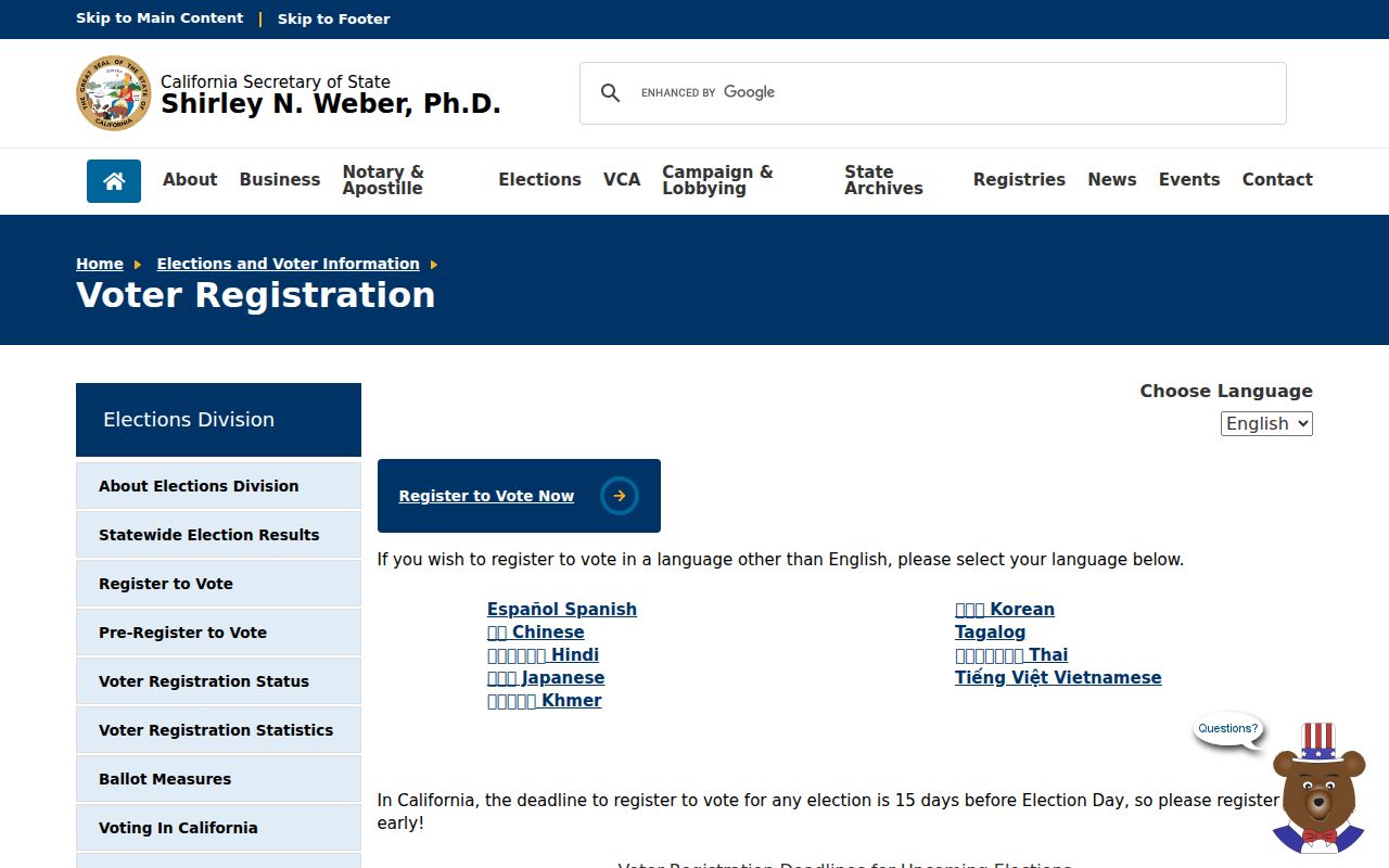
The voter guidance image reinforces the access rule: registration information is not an open San Ramon block roster.
For one person’s own status, the My Voter Status lookup uses first name, last name, date of birth, and conditional identity fields. The self-lookup capture below shows why it authenticates a person rather than opening a name search.
A permitted voter-file request must state the requester, organization, geography, approved purpose, storage and security controls, and authorized users. Elections Code section 2194 limits uses, while Government Code section 7924.000 protects home street address, telephone, email, identifiers, prior registration, and signature data. A voter file can support approved civic or scholarly work, not a personal neighbor roster.
Note: My Voter Status confirms the matched voter’s own record and cannot be used to browse a San Ramon block.
San Ramon Permit History Nearby
Permits add time and project context to a block. San Ramon Building and Safety may have an address, permit type, applicant or contractor, issuance date, inspection, and status. Those fields can explain a new addition, remodel, or parcel change without claiming that the named applicant lived there.
Search city permit services first. If an older or specific record is not posted, make a defined existing-record request through the San Ramon OpenGov request portal or the City Clerk’s public-records route. The request should name the address or APN, department, date span, project, and desired format. The California Public Records Act covers existing records, not a compelled new list of nearby households.
Pre-1983 work may be in county files. Dougherty Valley projects can also reflect county custody until finaling. Record the event date and annexation status before deciding whether San Ramon, Contra Costa County, or another district is the right custodian.
Official Records or Commercial Neighbor Tools
Commercial neighbor tools can look convenient because they combine many data types. They are still compilations. An official record has a named custodian, a field definition, a date, and a correction path. Comparing the two categories helps prevent a polished result from outranking a county map, deed, or lawful roll.
| Question | Official Record Route | Commercial Compilation |
|---|---|---|
| Which lots touch the address? | CCMAP parcel selection, APN, aerial, and radius tools | May draw a map from mixed sources; boundary method may be unclear |
| Who holds title? | Assessor public roll and recorder deed index or copies | May merge names or carry an old association |
| Who occupies the parcel? | Only source-specific evidence such as a dated directory or consented contact | Often infers from stale address data; not proof of occupancy |
| What changed on the lot? | Permit, planning, deed, map, or tax record from the custodian | May summarize without the underlying document |
| Can an error be corrected? | Ask the assessor, recorder, city, or other custodian about its procedure | Request removal or correction from the company, but the official source remains separate |
For a block question in San Ramon, use commercial results only as an unverified lead, if at all. Confirm the parcel, date, and source field through the office that created the record.
San Ramon Neighbor Lookup Privacy Limits
Some block information is not public at all. Household members and non-owner occupants may not appear in an official parcel or deed record. Utility accounts, delivery records, DMV address data, confidential voter details, and sealed or juvenile court matters have separate protections. California’s Safe at Home program can provide a substitute mailing address and confidential voter mechanisms for eligible participants, although it does not automatically erase information already public.
The California Safe at Home program is one example of why a map boundary should never be treated as a complete people list. The Assessor also suppresses owner names online because maintaining selective protected-address rules would be impractical. Ask the relevant custodian about suppression, correction, or access rather than treating an absence as proof that a person is not connected to a parcel.
Lawful use. San Ramon neighbor research is appropriate for getting oriented to a block, reconnecting through a public channel, family history, or personal safety awareness. Do not use records to watch, intimidate, harass, or track anyone.
A respectful lookup stops at the least intrusive source that answers the question. A map may be enough to understand a boundary. A public board contact may be enough to pass along a message. A private roster requires consent.
San Ramon Geography and False Positives
San Ramon’s postal, municipal, neighborhood, and association labels do not always line up. The official HOA layer labels Crow Canyon Heights HOA outside city limits, a concrete warning that a familiar community name is not proof of San Ramon jurisdiction. Check the city neighborhood layer, HOA polygon, parcel map, and event date together.
Bishop Ranch creates another local false-positive pattern. Corporate, agent, and professional addresses can appear in business, permit, license, or deed material without being homes. Treat a commercial campus address as an address category that needs verification, not as evidence that a private resident lives there.
Older central and western San Ramon, the I-680 corridor, and newer eastern areas around Dougherty Valley, Gale Ranch, and Windemere also have different record eras. A current map can show a street that older directories and census schedules could not list. Conversely, county-era land or family records can describe a parent parcel before the current neighborhood name existed.
Note: The most reliable San Ramon block search preserves the APN, source date, situs, mailing field, and jurisdiction instead of collapsing them into one label.